Services
How we work, and what we deliver.
We take time to listen, build trust, and understand what your needs are and what success looks like for you. We co-design scope and methods, and make decisions transparent, especially around sensitive information. We aim for work that feels supportive and respectful, and is still useful years later through clear documentation, handover, and optional follow-up support.
Common outputs.
Across our work, projects typically wrap up with one or more of these:
-
01
Maps
Print-ready maps, map books, and figure packages for reports
-
02
Datasets
GIS datasets and geodatabases with metadata and data dictionaries
-
03
Drone
Orthomosaics, 3D models, and elevation products
-
04
Web
Dashboards, web maps, and story maps
-
05
Training
Materials, SOPs, and implementation plans
Eight service areas.
The areas below are the most common shapes our work takes. Many projects combine several — we’ll help you scope what makes sense.
-
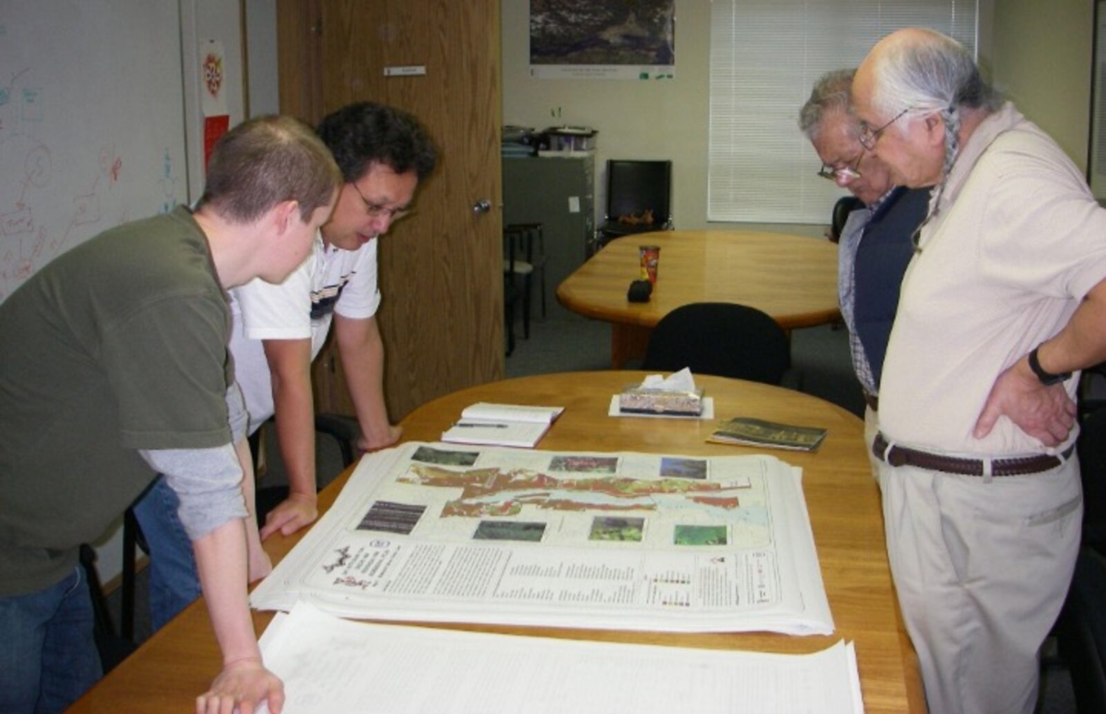
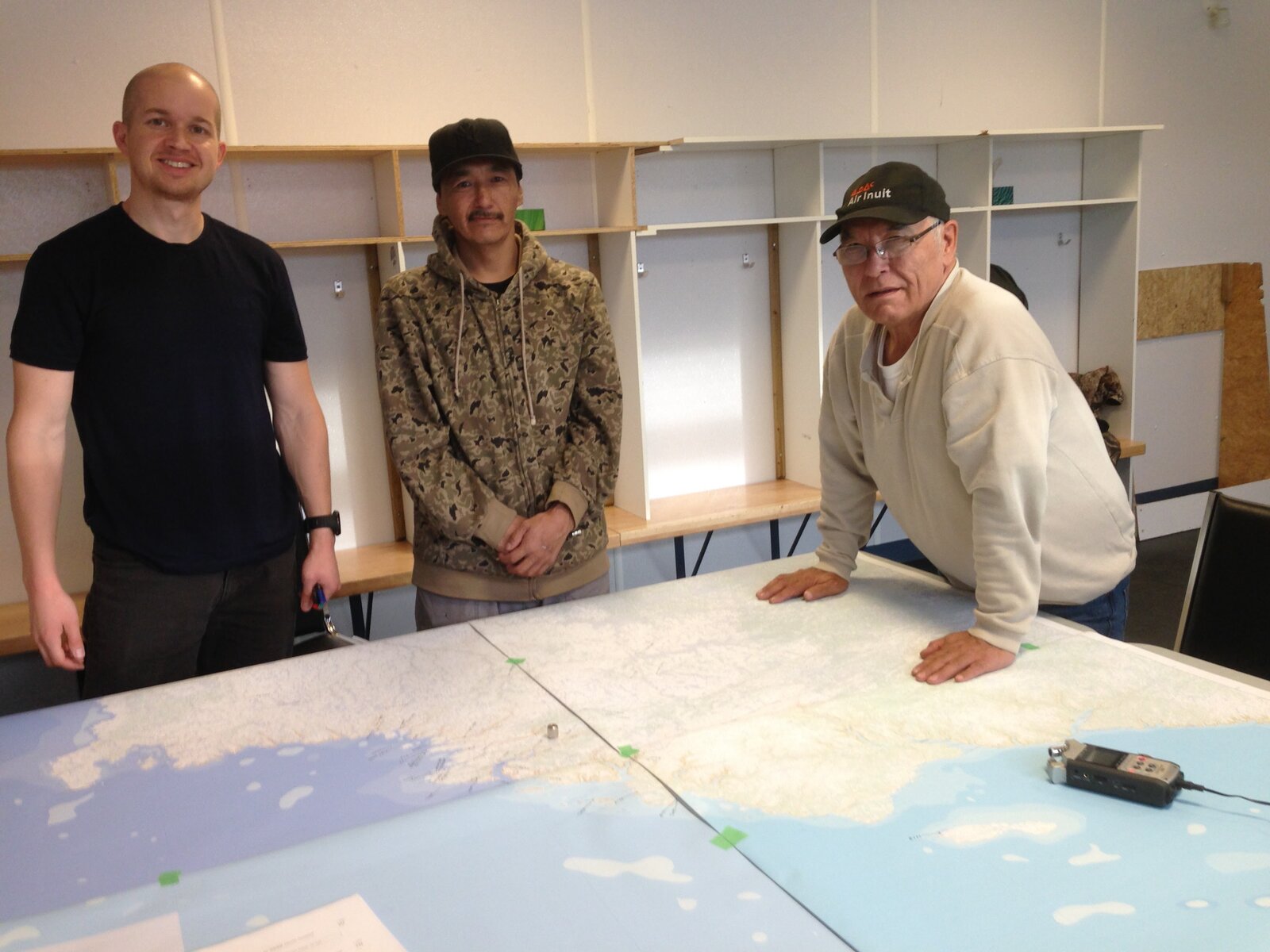
GIS Mapping.
We work alongside your team to turn questions and priorities into clear maps and well-organized datasets you can rely on for planning, stewardship, and communication.
- Land rights and use-and-occupancy mapping
- Bioregional atlases and custom map design
- Community-led mapping workflows
- Map series for planning documents, reports, and presentations — print-ready and digital
- Data cleanup, layer standardization, and geodatabase design
- Field data collection forms and workflows (Survey123, mobile GIS)
-
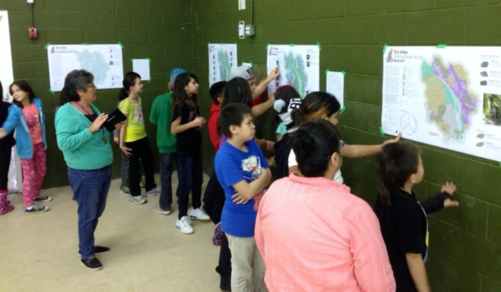
Cultural & Knowledge Mapping.
A careful, consent-based approach to mapping that centres community knowledge, supports storytelling on your terms, and respects what should (and should not) be shared.
- Participatory cultural mapping projects
- Integration of oral histories, traditional knowledge, and land stories
- Support for Indigenous-led research and storytelling
- Workshop design and facilitation (mapping sessions, interviews, validation, and review)
- Sensitive data handling (access controls, redaction, and community-defined sharing)
- Community atlases and map books that can be updated over time
-
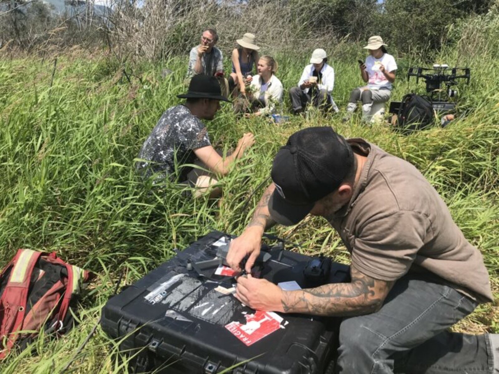
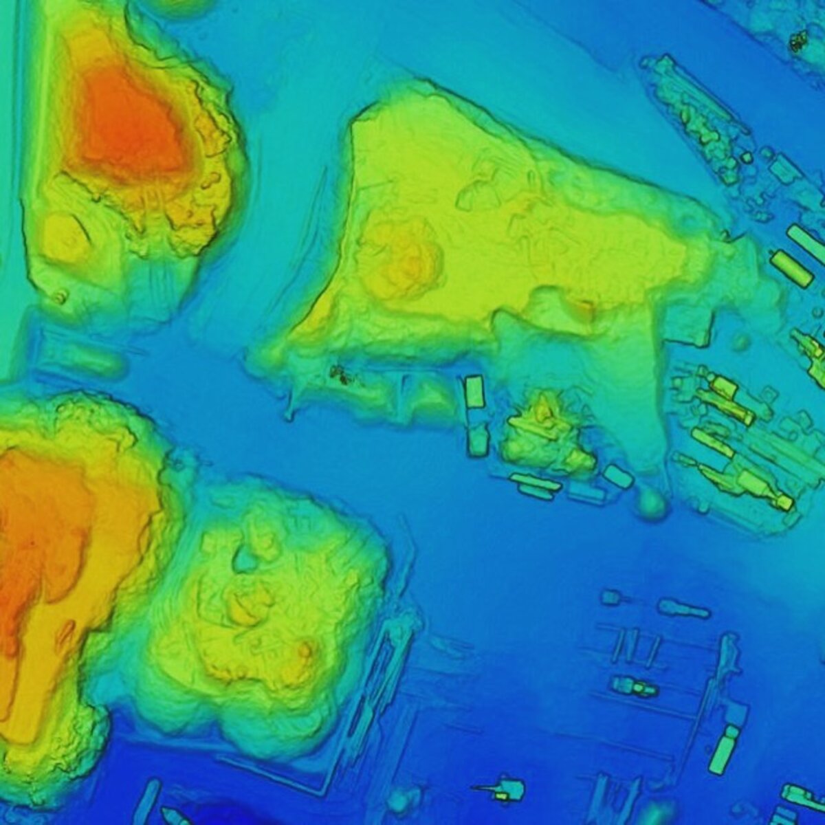
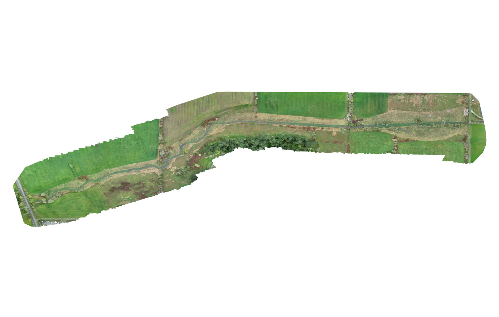
Drone Mapping.
We help you gather high-resolution imagery and 3D products in ways that fit local context, minimize disruption, and directly support on-the-ground stewardship decisions.
- High-resolution drone surveys for land use, environmental monitoring, and cultural sites
- Photogrammetry, orthomosaics, and 3D modeling
- Drone data integration into GIS systems
- Survey planning (ground control strategy, flight plans, and accuracy targets)
- Digital surface and terrain models and contour products
- Repeat monitoring for change detection — erosion, forest condition, restoration sites
-
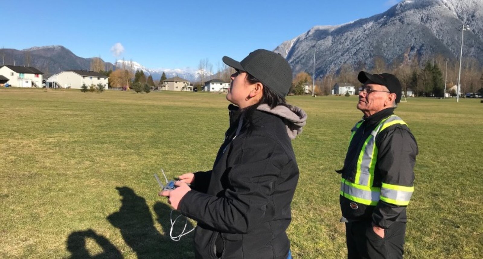
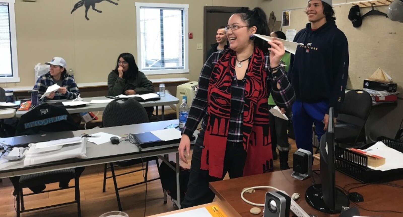
Drone Training.
Hands-on, supportive training designed to build confidence, safety, and lasting in-house capacity—especially for community land teams and youth programs.
- Community-based drone training for youth and land departments
- Flight operations, safety, and regulatory guidance
- Hands-on, mapping-focused drone instruction
- Training materials your team can keep using (checklists, SOP templates, and lesson plans)
- Equipment and software guidance (selection, setup, and maintenance)
- Support with mission planning and first projects so teams can practice with real data
-
Spatial Analysis.
Collaborative analysis that makes complex information usable, transparent, and defensible.
- Territorial inventories and loss-of-use studies
- Forest monitoring, risk assessments, and change detection
- Spatial modeling and data visualization
- Scenario and suitability analysis (constraints, opportunities, and trade-offs)
- Remote sensing workflows (classification, indices, and time-series summaries)
- Clear figures and methods summaries suitable for technical review and reporting
-
Training & Capacity Building.
We build skills and systems with you (not just for you), so your team can run projects, manage data, and maintain tools independently over time.
- GIS training tailored to all experience levels
- Train-the-trainer models and curriculum development
- Capacity assessments and implementation planning
- Workflow documentation (how-to guides, data dictionaries, and step-by-step procedures)
- Ongoing mentoring and office hours during implementation
- Program design support (equipment, staffing, budgets, and sustainability planning)
-
Governance & Protocols.
Together we set up practical governance that protects sensitive information, clarifies consent and sharing, and strengthens community control and data sovereignty.
- Development of data protocols aligned with FPIC, OCAP, and CARE
- Metadata standards and ethical data practices
- Community-controlled data access and stewardship strategies
- Data sharing agreements and project-specific consent processes
- Information architecture and permissions planning (who can see what, and why)
- Privacy-by-design guidance for mapping and monitoring programs
-
Digital Tools & Storytelling.
Accessible digital products that help you share what you choose to share—supporting engagement, advocacy, and collaboration with partners and decision-makers.
- Design of web maps, dashboards, and story maps
- Tools for advocacy, monitoring, and decision-making
- Visualization of project impacts and land-based narratives
- User-friendly map templates and handover so your team can update content


Start a conversation.
Or see how these services come together in our past work.